फाइल:Nepal (orthographic projection).svg

पूर्वावलोकन PNG क आकार SVG फाइल: ५५३ × ५५३ चित्राणु दोसर resolutions: २४० × २४० चित्राणु | ४८० × ४८० चित्राणु | ७६८ × ७६८ चित्राणु | १,०२४ × १,०२४ चित्राणु | २,०४८ × २,०४८ चित्राणु।
पूर्ण आनन्तर्य (एसभिजी फाइल, मामूली रूपमे ५५३ × ५५३ चित्रकण, फाइलक आकार: ३२१ KB)
| ई फाइल विकिमिडिया कमन्ससँ अछि। कमन्सकs विवरण पृष्ठसँ जानकारी एतए नीचाँ देखाएल गेल अछि। कमन्स एक फ्रि लाइसेन्स मिडिया फाइल परियोजना छि। अपने मद्ददतकs सकए छि। |
.svg)
सङ्क्षेप
| जानकारी |
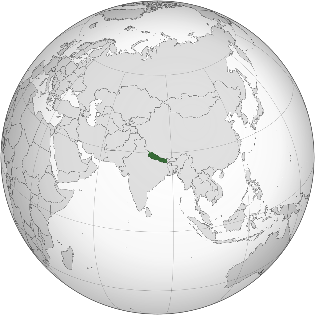
English: Locator map of Nepal in orthographic projection |
| दिनाङ्क | |
| स्रोत | Own work based on: India (orthographic projection).svg by Ssolbergj |
| लेखक |
Shahid Parvez. Based on a file by Ssolbergj |
| SVG genesis | इस वेक्टर चित्र को Adobe Illustrator की मदद से बनाया गया था, and with Inkscape. |
.svg)
अधिकृत करब
The map has been created with the Generic Mapping Tools: https://www.generic-mapping-tools.org/ using one or more of these public-domain datasets for the relief:
|

|
ई दस्तावेजके मुक्त सफ्टवेयर फाउन्डेसनद्वारा प्रकाशित जिएनयु मुक्त डक्युमेन्टेसन लाइसेन्सक संस्करण १.२ या नव (बिना कोनो इन्वेरिएन्ट अनुभागसभ आ आगु आ पिछुल्का आवरणक पाठ)के अन्तर्गत कपी, वितरित एवं/अथवा परिवर्तित करैक लेल अनुमति प्रदान कएल जाइत अछि । ई लाइसेन्सक एक प्रति जिएनयु मुक्त डक्युमेन्टेसन लाइसेन्स नामक अनुभागमे शामिल अछि । |
मूल अपलोड लॉग
The original description page was here. All following user names refer to en.wikipedia.
| Upload date | User | Bytes | Dimensions | Comment |
|---|---|---|---|---|
| 2009-10-05 17:31:42 | Parvez gsm | 513232 | 541×541 | {{Information |Description = Nepal orthographic_projection |Source = I have created this work entirely by myself. |Date = October 5th,2009 |Author = Shahid Parvez |other_versions = }} |
फाइल इतिहास
तखनका तिथि/ समए पर क्लिक करी जखनका फाइल देखबाक अछि
| तिथि/ समए | लघुचित्र | बीमसभ | प्रयोक्ता | समीक्षा | |
|---|---|---|---|---|---|
| अखनका | ००:३२, २३ जुन २०२० | | ५५३ × ५५३ (३२१ KB) | XavierGreen | Reverted to version as of 22:55, 21 June 2020 (UTC) |
| ००:३०, २३ जुन २०२० |  | ५५३ × ५५३ (३२१ KB) | XavierGreen | Reverted to version as of 23:00, 21 June 2020 (UTC) | |
| ०६:४४, २२ जुन २०२० |  | ५५३ × ५५३ (३२१ KB) | Manabimasu | disputed area | |
| ०४:४५, २२ जुन २०२० |  | ५५३ × ५५३ (३२१ KB) | Manabimasu | Reverted to version as of 22:46, 21 June 2020 (UTC) | |
| ०४:४०, २२ जुन २०२० |  | ५५३ × ५५३ (३२१ KB) | Manabimasu | disputed area | |
| ०४:३१, २२ जुन २०२० |  | ५५३ × ५५३ (३२१ KB) | Manabimasu | disputed area | |
| ०४:१८, १९ मार्च २०१५ |  | ५५३ × ५५३ (२८२ KB) | Flappiefh | Added South Sudan. | |
| ०८:५८, २८ दिसम्बर २००९ |  | ५४१ × ५४१ (५०१ KB) | CommonsHelper2 Bot | {{BotMoveToCommons|en.wikipedia|year={{subst:CURRENTYEAR}}|month={{subst:CURRENTMONTHNAME}}|day={{subst:CURRENTDAY}}}} {{Information |Description = {{en|Nepal orthographic_projection}} |Source = {{en |Based on [[:File:India_(orthographic_projection).sv |
फाइलक उपयोग
ई 49 पन्नासभमे ई फाइलक लिङ्क अछि:
- नेपाल
- वार्ता:अधिराजकुमारी श्रुति
- वार्ता:अनुष्का श्रेष्ठ
- वार्ता:अष्टलक्ष्मी शाक्य
- वार्ता:आरजु राणा देउवा
- वार्ता:आस्था पोखरेल
- वार्ता:इन्दिरा राणा मगर
- वार्ता:उमा देवी बाडी
- वार्ता:कुटनीतिज्ञ
- वार्ता:कोइलीदेवी
- वार्ता:कोमल ओली
- वार्ता:चनिरा बज्राचार्य
- वार्ता:छुरिम शेर्पा
- वार्ता:ज्ञानु राणा
- वार्ता:डिम्पल कुमारी झा
- वार्ता:देवयानी राणा
- वार्ता:नलिना चित्रकार
- वार्ता:निशा शर्मा
- वार्ता:पम्फा भुषाल
- वार्ता:परमिता राणा
- वार्ता:पायल शाक्य
- वार्ता:प्रतिमा शेर्पा
- वार्ता:बर्षा राउत
- वार्ता:बसन्ती कुमाल चौधरी
- वार्ता:बोनिता शर्मा
- वार्ता:मञ्जुश्री थापा
- वार्ता:मेलिना राई
- वार्ता:रवीना देसराज श्रेष्ठ
- वार्ता:राजतन्त्र
- वार्ता:राजनीतिज्ञ
- वार्ता:राधा पौडेल
- वार्ता:रानी ऐश्वर्य राज्यलक्ष्मी शाह
- वार्ता:रानुदेवी अधिकारी
- वार्ता:रोनाली अमात्य
- वार्ता:ललित त्रिपुरा सुन्दरी
- वार्ता:लाक्पा शेर्पा
- वार्ता:विद्या चापागाईं
- वार्ता:शृङ्खला खतिवडा
- वार्ता:शैलजा आचार्य
- वार्ता:संगीना वैद्य
- वार्ता:सपना रोका मगर
- वार्ता:समिता बज्राचार्य
- वार्ता:सरिता लामिछाने
- वार्ता:सिताश्मा चन्द
- वार्ता:सुजाता कोइराला
- वार्ता:सुनिता दुलाल
- वार्ता:सुहाना थापा
- वार्ता:हिसिला यमी
- आकृति:महिला सम्पादनथन २०२१ वार्ता
विश्वव्यापी फाइल उपयोग
ई फाइल कऽ उपयोग निम्न दोसर विकिसभमे अछि:
- ace.wikipedia.org कऽ उपयोग पर
- af.wikipedia.org कऽ उपयोग पर
- ami.wikipedia.org कऽ उपयोग पर
- ang.wikipedia.org कऽ उपयोग पर
- an.wikipedia.org कऽ उपयोग पर
- ar.wikipedia.org कऽ उपयोग पर
- نيبال
- بوابة:نيبال
- بوابة:نيبال/واجهة
- قائمة الدول ذات السيادة والأقاليم التابعة في آسيا
- مستخدم:جار الله/قائمة صور مقالات العلاقات الثنائية
- العلاقات الأمريكية النيبالية
- العلاقات الأنغولية النيبالية
- العلاقات الكورية الجنوبية النيبالية
- العلاقات الإريترية النيبالية
- العلاقات السويسرية النيبالية
- العلاقات الألمانية النيبالية
- العلاقات الليختنشتانية النيبالية
- العلاقات البوليفية النيبالية
- العلاقات الموزمبيقية النيبالية
- العلاقات الألبانية النيبالية
- العلاقات البلجيكية النيبالية
- العلاقات الإثيوبية النيبالية
- العلاقات البيلاروسية النيبالية
- العلاقات الطاجيكستانية النيبالية
- العلاقات الروسية النيبالية
- العلاقات الرومانية النيبالية
- العلاقات الأرجنتينية النيبالية
- العلاقات الغامبية النيبالية
- العلاقات القبرصية النيبالية
- العلاقات السيراليونية النيبالية
- العلاقات الليبيرية النيبالية
- العلاقات التشيكية النيبالية
- العلاقات الميانمارية النيبالية
- العلاقات الكندية النيبالية
- العلاقات الزيمبابوية النيبالية
- العلاقات الإسرائيلية النيبالية
- العلاقات البالاوية النيبالية
- العلاقات المالية النيبالية
- العلاقات النيبالية النيجيرية
- العلاقات اليمنية النيبالية
- العلاقات الفانواتية النيبالية
- العلاقات الغابونية النيبالية
- العلاقات البنمية النيبالية
- العلاقات الكوبية النيبالية
- العلاقات الجورجية النيبالية
- العلاقات التونسية النيبالية
- العلاقات الكورية الشمالية النيبالية
- العلاقات الهندية النيبالية
- العلاقات اليابانية النيبالية
- العلاقات الإيطالية النيبالية
ई फाइलक विश्वव्यापी उपयोगक अधिक जानकारी देखी।
.svg)
.svg)